
Arlington Neighbors by Block
Arlington County keeps several public layers that can describe the block around an address. AC Maps supplies the geography. Arlington Property Search supplies parcel and tax-record details. Circuit Court land records document transfers. Civic association material supplies a boundary and public contact layer. These sources serve different questions, so a result should be described as an adjacent parcel, a same-block address, or a civic-association area rather than as a complete roster of neighbors.
| Arlington source | What it shows about a block | Access route |
|---|---|---|
| AC Maps address and parcel layers | Address points, nearby parcels, street geometry, ZIP, precinct, civic boundary, and zoning context | Public web map; pan, zoom, and click; reference data only |
| Arlington Property Search | Owner, mailing address, parcel facts, assessment, sales, and permits for one selected address | Public web search; nightly-update notice applies |
| Official Records Search | Transfers, legal descriptions, recorded parties, liens, and judgments | Registered remote index, paid images, kiosk, counter, or mail |
| Voter statutory list | Permitted public fields subject to Virginia’s list rules and exclusions | Registrar inspection and regulated Department products |
| Civic association directory and map | Association boundary and public president or contact when supplied | County directory and interactive map, not a member list |
Owner and mailing-address fields are useful leads, but neither establishes who occupies a dwelling. A mailing address can be elsewhere, and an owner can be a trust, corporation, or other entity. A large condominium project can have multiple units at one street number. Keep the target address, RPC, legal description, and map position in a notes table before comparing an adjacent parcel.
Note: AC Maps is reference data and the County says it is not a legal record, survey, or boundary determination.
AC Maps Around Arlington Neighbors
Arlington County AC Maps provides the documented method for an immediate block. Enter the address in the top-right search bar and press Enter. A left panel lists Find Address candidates. Select the normalized candidate to zoom to the point, then use Pan, Zoom In, Zoom Out, and Full Extent to inspect the area. The public source supports Address Point, Street Names, parcel and property-related layers, ZIP Code, voter precincts, and civic-association names and boundaries.
The source did not expose a named public buffer or radius control. Do not claim one. The supported method is to zoom out one or two levels and click adjacent parcel or address points. That distinction keeps an Arlington neighbors search focused on visible adjoining context rather than inventing a distance-based result.
- Search the target address and choose the normalized result in the Find Address panel.
- Turn on address, parcel, street, ZIP, precinct, and civic-association layers that help place the block.
- Click adjacent parcels or points and record each situs, RPC, map book and page, class, and legal description.
- Use Property Search for each selected address, then treat the map and recorded land record as separate evidence.
The County GIS service also includes development, imagery, and zoning layers. They can give context, but a recorded plat or deed controls when a legal parcel question matters.
Mapping Arlington Neighbors and Parcels
After AC Maps identifies the adjacent parcels, open Arlington Property Search one address or RPC at a time. A property card can show the situs address, owner, mailing address, legal description, property class, zoning, year built, map book and page, assessment history, sales, permits, and tax-exemption indicator. Its sales tab can show a grantee, sale date, sale code, deed book and page, and document ID. That is enough to create a clean parcel ring without turning it into a claim about every person nearby.
The basic flow is address to AC Maps, AC Maps to adjacent parcel, parcel to Property Search, then property identifiers to recorded documents when a transfer needs confirmation. For a full named-street method rather than an immediate block, use the Arlington street directory route. It follows the address chain along the street rather than rebuilding a narrow parcel ring.
- Situs address
- The physical address assigned to the parcel.
- Mailing address
- The address used for the tax-record contact. It can differ from the situs address.
- RPC
- Arlington’s real-property identifier for the parcel.
- Legal description
- The lot, subdivision, unit, or other land description that helps confirm the right parcel.
Property Search says its data is updated nightly, but it can lag document processing and its accuracy is not guaranteed. Preserve the date viewed and correct a property-card error through the Department of Real Estate Assessments.
Arlington Neighbors and Voter Lists
Virginia’s Citizen Portal is a personal verification tool, not a public neighborhood lookup. It asks for a voter’s name, date of birth, last four Social Security digits, and locality, then can display that voter’s registration status, polling place, districts, absentee status, and voting history. It should not be used as a way to build a block list, and voting history does not reveal ballot choices.
Va. Code §24.2-444 describes the statutory public list fields, including name, address, year of birth, gender, and applicable election districts. It excludes Social Security information, day and month of birth, protected addresses, and other protected fields. Complete VERIS records are not open under VFOIA. Virginia also controls voter-file products and uses through Title 24.2, so an Arlington block cannot be treated as a casual public roster.
Record limit. A protected voter may use a post-office-box address under Va. Code §24.2-418, so a missing residence address can be a statutory protection rather than an error.
Arlington Civic Boundaries and Neighbors
The County’s civic-association resource has a seven-page alphabetical directory, an interactive association map, and a Multifamily Directory. It publishes association names and, where an association has supplied them, a president, phone, email, website, and other public contact details. The map is the source for the exact boundary. A name in a directory alone does not establish that a parcel belongs to that association.
County association map
Use the civic boundary layer to route an Arlington block to the right association. Examples include Ashton Heights, Bluemont, Clarendon-Courthouse, Lyon Park, and Westover Village.
ArNAC network
ArNAC includes representatives from 50 of Arlington’s 62 civic associations. It is a network of associations, not a source of private membership records.
Multifamily Directory
Search a complex by name, address, civic association, or ZIP for building and public management or condo-president contact information where listed.
See the County civic-association directory shown below for the alphabetic and map-based routing layer.
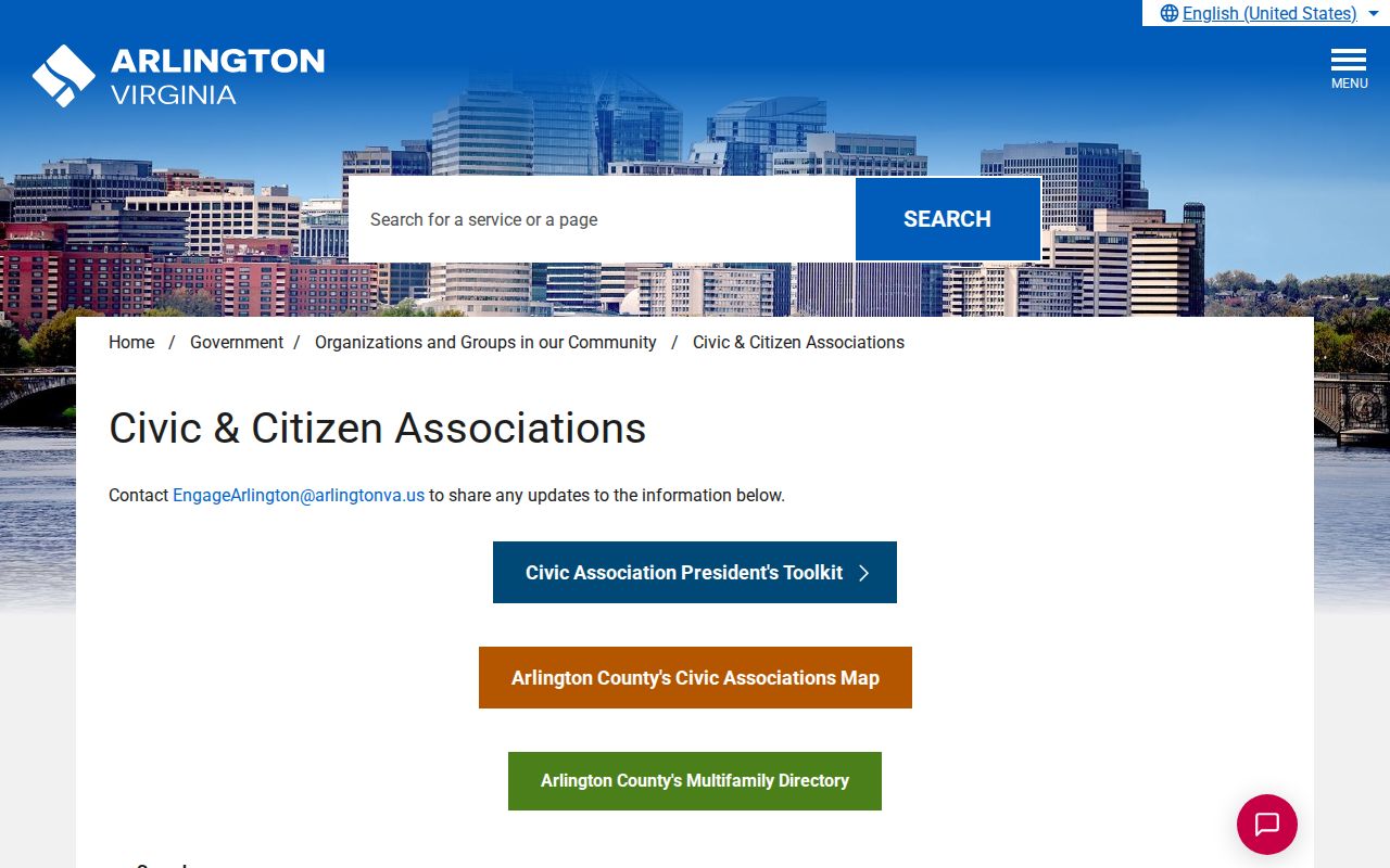
The directory can connect a block to a public neighborhood contact, while the map prevents a nearby association name from being mistaken for the actual boundary.
Arlington Community Contacts for Neighbors
Community records add public organization context, not private personal data. The County searchable community-organizations directory lists nonprofit, faith, and civic organizations with contact and location fields. Civic associations may separately publish a meeting notice or public contact. Community Archives finding aids, CERT neighborhood teams, association newsletters, oral-history catalogs, and local newspapers can sometimes establish that an organization was active around an address at a particular time.
The Arlington community-organizations directory is pictured below.
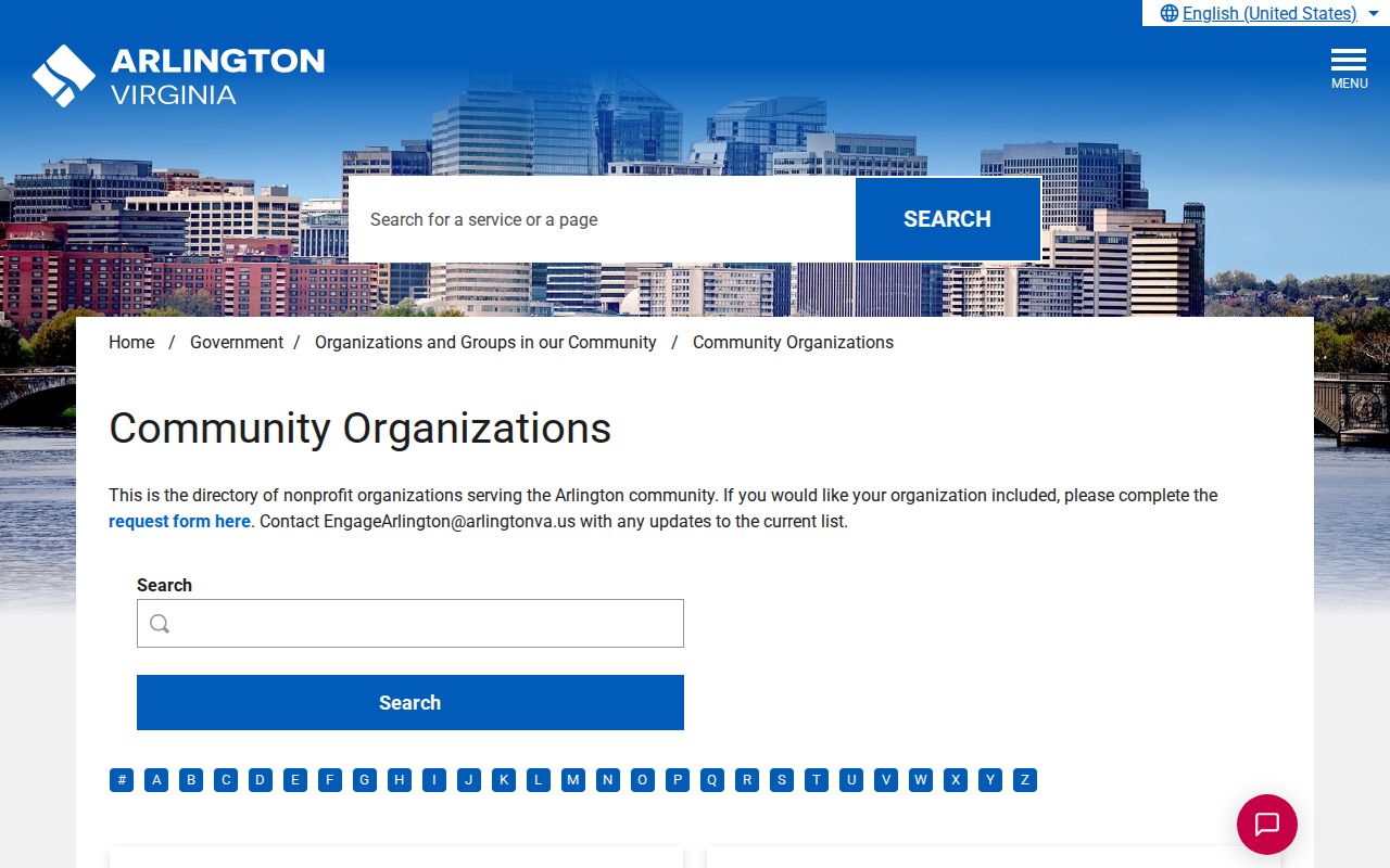
Use the organization search to find a public contact or location, then confirm the date and group before using it as neighborhood context.
CCCLH holds directories, yearbooks, newspapers, maps, photographs, oral histories, and organizational material. The Center’s Community Archives is off-site and closed to the public. Researchers should request a named collection, box, series, or file, allow one week for retrieval, and wait for the notification before planning a reading-room visit.
Limits on Arlington Neighbor Lookup
Property maps, ZIP layers, and parcel cards do not show everyone at an address. Household members, children, utility and delivery customers, school records, protected voters, and Address Confidentiality Program participants are outside this public parcel layer. Virginia’s Address Confidentiality Program under Va. Code §2.2-515.2 is part of a safety plan for qualifying participants. Its existence is a reason to respect an absence, not a reason to seek around it.
| Official record layer | Third-party compiled lookup category |
|---|---|
| Names the custodian, record type, and limits; supports correction through the office that holds it. | May combine marketing and older public data; it does not make hidden household information complete or authoritative. |
| Parcel and land records document the property facts shown by the County or Circuit Court. | A result still needs verification against the current official custodian record. |
Virginia’s Consumer Data Protection Act gives eligible consumers rights concerning covered personal data, but it does not override record-specific confidentiality rules. For an official correction, retain the record URL, date viewed, document number or RPC, and a brief explanation. Send a parcel-card error to Real Estate Assessments, a land-index issue to the Circuit Court Clerk, and a voter-data issue to the registrar.
Lawful use. Arlington neighbor research is for civic context, reconnection, and personal safety awareness, never to follow, threaten, expose, or harass someone. Virginia stalking law, Va. Code §18.2-60.3, can apply to repeated conduct that creates the specified fear of harm.
Arlington Neighbor Record Corrections
Use a custodian’s published channel when a record seems wrong or an unsolicited caller claims to represent an office. Arlington Police warned about police spoofing and jury-duty or property-related scams. Caller ID can be falsified, and the Police and Sheriff do not ask for money by phone, text, or email. Hang up and independently call the official ACPD non-emergency number, 703-558-2222, rather than a number given by the caller.
For a County property data discrepancy, contact Real Estate Assessments with the address, RPC, record date, and supporting details. A court or land-record index issue belongs with the Clerk, and a voter matter belongs with the registrar. VFOIA can request an existing County record with reasonable specificity, but it does not create a neighbor roster or open a record that another statute keeps closed.
Note: Confirm the source and date of a block record before repeating it as a fact about a person or property.